dlharmon.com home
About
Yosemite
Sunrise
Lyell Canyon
Thousand Island Lake
Crater Creek
Lake Virginia
Silver Lake
Vermilion Valley
Marie Lake
Muir Trail Ranch
Sapphire Lake
Glacier Creek
Unnamed lake
Unnamed creek
Crabtree Meadow
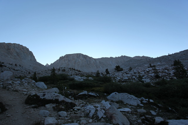
Mount Whitney
Getting to and from the trailheads
What I took
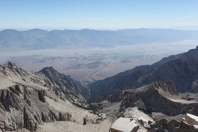
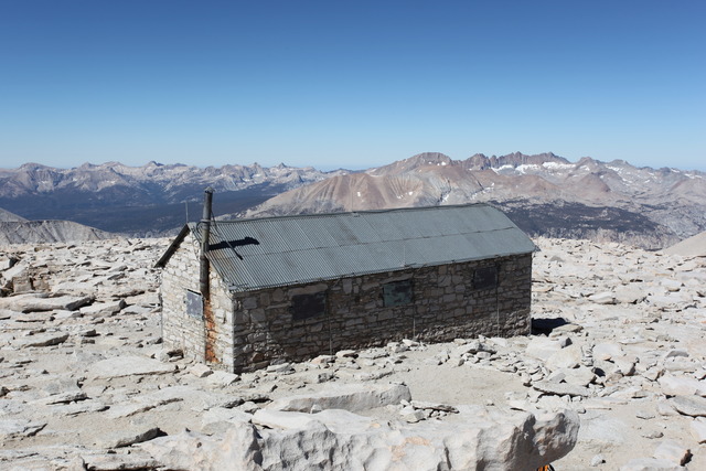
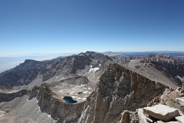
August 16, 2010: Crabtree Junction to Whitney PortalI set the alarm on my watch for the first time in order to get to the summit of Mt. Whitney as early as possible, but woke up a few minutes before it was to go off. A man at Guitar Lake asked me where the trail to Mt. Whitney was and I told him that we were on it. He didn't seem to believe me even after I showed him the map. He watched as I ascended the switchbacks. I reached the junction with the Mt. Whitney trail and left my pack with those of the other backpackers. I recognized one of the packs that belonged to someone I had met at Vermilion. I took just my camera, my jacket, snacks and a bottle of Gatorade with me to the summit. The view from the summit was incredible. Unlike the passes with higher places to either side, there was a 360 degree view where everything was below including the nearby 14,000 foot peaks. The town of Lone Pine, CA was visible over 10,000 feet below. While eating a candy bar, I noticed a fat marmot sitting at my feet and watching. I saw the hiker that I knew from Vermilion and we talked for a while. After enjoying the summit for about 30 minutes, I started the 6200 foot descent to the trailhead. The two brothers who had been hiking at a similar pace were headed up as I was going down. I will probably never know if many of the hikers I met along the way would make it the entire way to Mt. Whitney, but I hope they were successful. Many of the day hikers headed up the mountain looked miserable.
next page: Travel